Drag to move · scroll to zoom · right-drag to turn and tiltDrag to move · pinch to zoom · two fingers to turn
Drag to move · scroll to zoom · right-drag to turnDrag to move · pinch to zoom · twist to turn
Langi Ghiran in 3D
Loading the terrain…
Concept · built 3DWalk the park
Drag to look · W A S D to walk · hold Shift to runDrag to look · joystick to walk
LG Recycling · Langi Ghiran, Grampians region
From old quarry
to bike park.
Explore the planned bike park, watch each run in action, then fly over the real landscape in 3D.
The 3D view can't load here.
Your browser or device doesn't support the 3D map. Try a recent version of Chrome, Safari or Edge, or read the story of Langi Ghiran.
About this tour
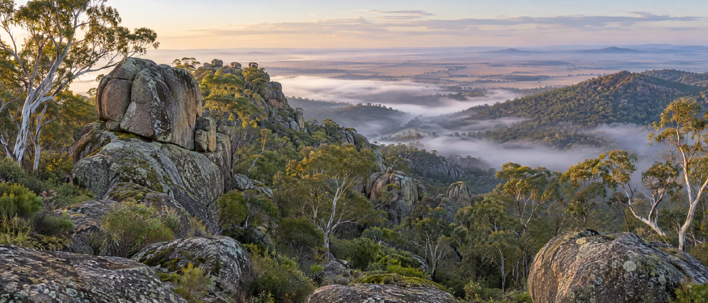
Real terrain, not a render.
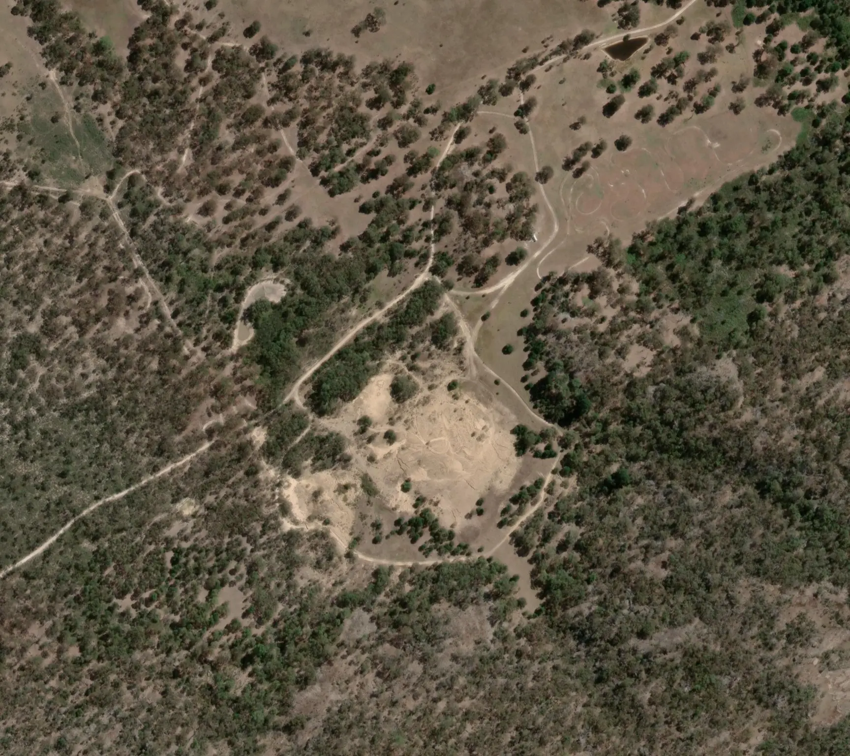
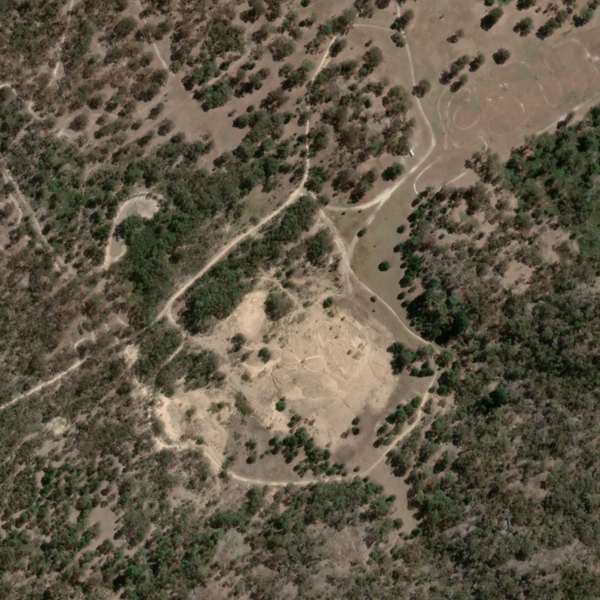
The landscape is built from public elevation data with satellite imagery laid over it, so the mountain, the woodland and the plains are where they really are. Height is slightly exaggerated to make the landform easier to read.
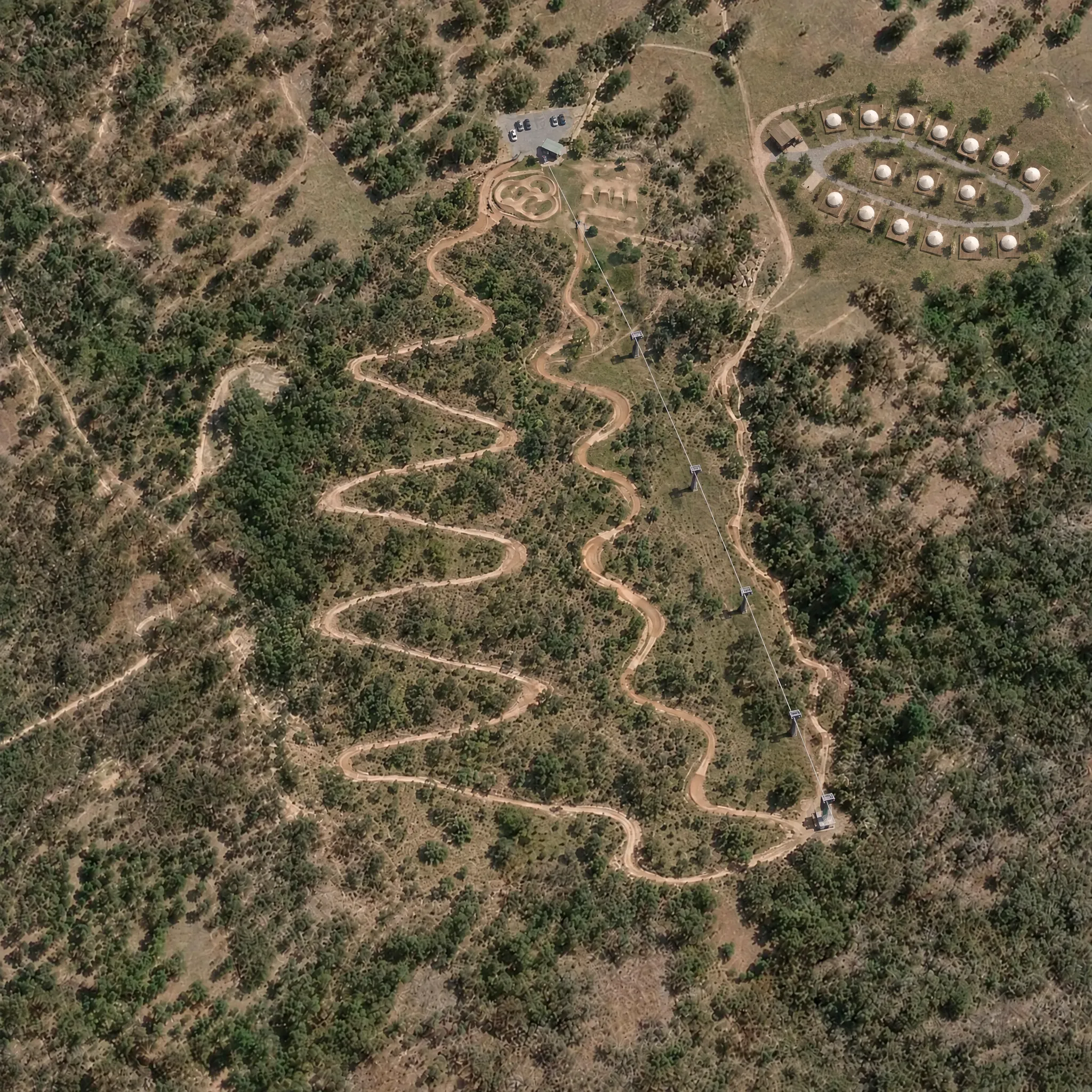
The bike park is an artist’s concept, painted over the real aerial and laid back onto the real slope: three downhill runs graded beginner, intermediate and expert, a kids' jump park by the lift base, a pulley lift that pulls riders back to the top, and 16 glamping sites off to the side. Lengths and drops are measured from the elevation data along each run as painted.
- The rehabilitation area outline is approximate.
- Run lines, the kids' park, the lift, the glamping layout and the concept images show an indicative idea of the finished park, not a final design.
- The short clips, the ride films, the dusk view and the concept aerial laid over the terrain are AI-generated illustrations, not footage or plans of the site.
- Trail grades use the usual shapes (circle, square, diamond) in the LG palette: green for beginner, yellow for intermediate, black for expert.
- Imagery © Esri World Imagery (Wayback, Oct 2025 release), Maxar, Earthstar Geographics. Terrain: Terrain Tiles (Mapzen, AWS Open Data).